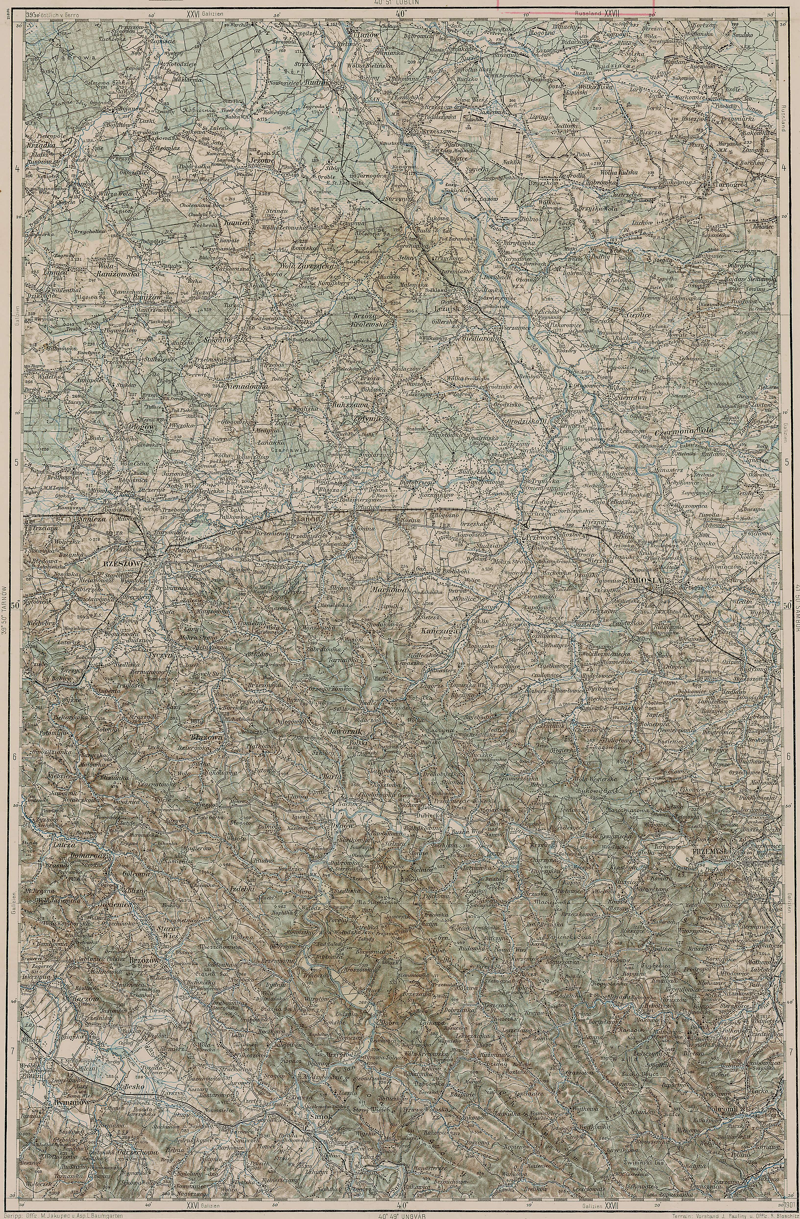
Extremely detailed maps - c. 1910
Here is a link to a series of extremely detailed topographic military maps of Austria-Hungary made in 1910. They show every town, every road and every hill, regardless of size. Click on the sector you want to look at, but be careful - they are 3.5Mb each - they take a while to display!
Here is the Przemysl area map
Here is the Przemysl area map
Labels: Maps
posted by David at 1/07/2007 12:10:00 AM
![]()
![]()

 The Jewish Przemysl Forum

1 Comments:
Interesting to know.
Post a Comment
<< Home